Mapping Your Community

As mentioned throughout this resource center, mapping the location of  impervious surfaces greatly aids in assessing whether a stormwater utility is right for your community.

NJMAP

Rowan University’s NJMAP has generously provided a one-stop resource for users to easily access the impervious surface, flooding, and parcel data for their own locality.  

Click the map below to search impervious cover, flood hazard and hydrography maps. 

For specific instructions on how to view your particular parcel, and impervious surface changes over time, see the instructions below the map.

Instructions

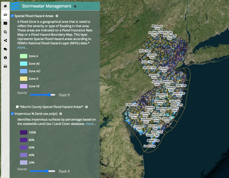
To view your particular parcel:  

Type the desired address or coordinates into the magnifying glass icon located in the top left of the screen.

To view impervious surfaces over time:

-Type the address or desired coordinates into the magnifying glass icon in the top left of the screen.

-Click the “animated maps” option in the shaded legend located in the lefthand portion of the screen.

-On the animated maps drop down menu, click the blue “play” button.

Read on